
Mapping Project Event
Friday 1 March 2013
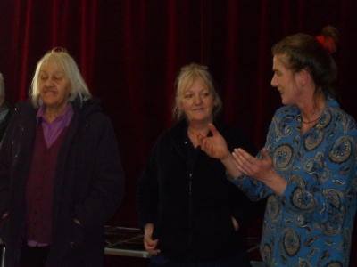
There was an excellent presentation on Tuesday in the Hall by Ann Henderson about the Mapping Project.
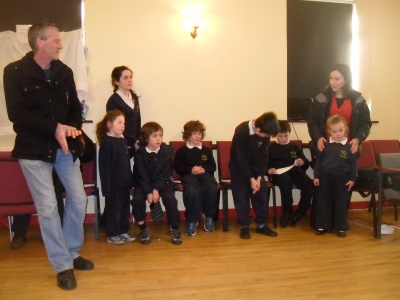
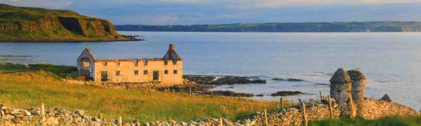
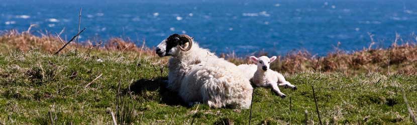
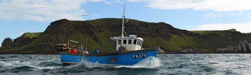
This valuable cultural heritage project, working with the Tuesday Club, the Floating Support workers Margaret McQuilkin and Shauna Cecil, and the pupils and staff of St Mary's Primary School, involves the use of Google Earth to help explore Rathlin, and particularly places of significance to island residents. Over the course of the project, participants have listed some of their favourite places on the island, and words and memories that they associated with those locations. Photographs of some of these sites have been loaded onto Google Earth.
The presentation was very interesting in showing new perspectives on familiar and not so familiar locations on the island. As the Tuesday Club worked through the project, they began to feel strongly that the value of the project's work would be greatly strengthened by passing on their experiences, local knowledge and stories to younger generations.
There's lots of great photos and information at the Mapping Project section of the website, and you can also check out Google Earth yourself to see some of the Rathlin pictures posted online.